Trending

Two beaches can look identical in a photograph and behave nothing alike on the day you arrive. One has a bus stop eight minutes from the sand; the other needs a car, a 25-minute walk, and a decision about whether the last stretch is manageable with a cool bag and a child in tow. A map answers those questions before you commit a morning to them.
That is the quiet pleasure of plotting a coastline: reading the small signals — where the road ends, which way the bay opens, whether the sand is forty metres wide or four hundred — and using them to rank the coves worth your time. It takes about half an hour per island. Here is how to spend it well.
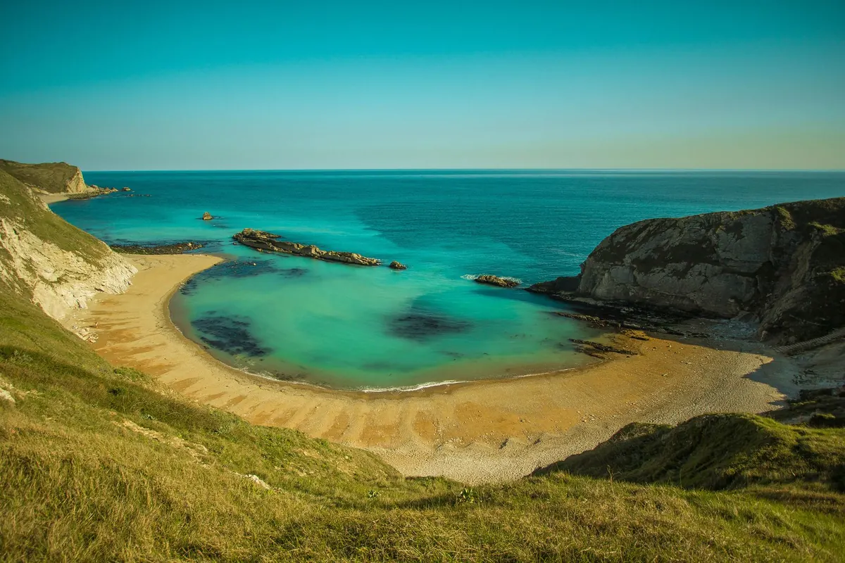
Most island maps and map apps arrive with a scatter of star-shaped pins on the "best beaches". Ignore them for the first ten minutes. Switch to satellite imagery, zoom until the shore fills the screen, and look at the texture rather than the labels.
Sand reads pale and smooth; pebbles read speckled and grey; rock shelves read as flat platforms with fractures running through them. A dark green band behind the shore usually means trees and, therefore, afternoon shade. A line of small white rectangles at the back of the beach usually means sunbeds, a taverna, or both.
Then use the scale bar. A beach sixty metres wide and a beach three hundred metres wide look similar at a glance, but they hold very different crowds. On a narrow strip, twenty people feel like a crowd; on a long sweep, you can walk five minutes and find empty sand. Measure the width at both ends of the bay, too, because the far end is often the quieter one.
Which way does the beach face? A south-facing cove catches sun most of the day; a north-facing one may hold shade in the morning and stay cooler in the afternoon. That single detail changes what time you should arrive, and it costs nothing to read off the map.
Follow the road to its literal end. A solid line that stops at a widened gravel patch means parking and a short walk. A line that turns into a dotted footpath means something else entirely.
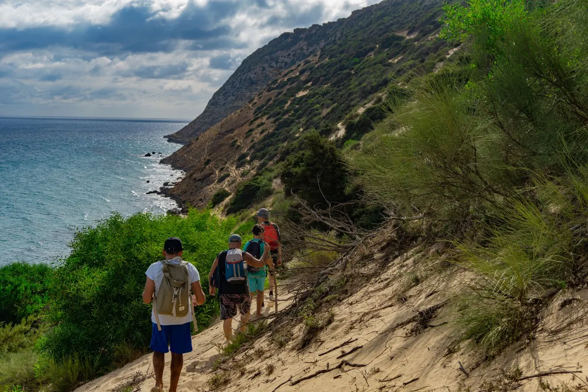
Measure the walk from the road's end to the water with the scale bar, then look at the contour lines. Three hundred metres along a flat track is a different proposition from three hundred metres up and over a headland. If there are no contour lines on your map, switch to terrain view — the shading gives it away quickly.
A beach with a road to it and a beach with a path to it are two different beaches, even when the sand is identical.
Zoom in close enough and facilities become legible. Buildings at the back of the beach suggest a taverna or rooms; clusters of pale dots on the sand suggest umbrellas and loungers; a pier suggests boat traffic and, sometimes, a shower. None of this is guaranteed, but it is a reasonable first filter.
What maps rarely show is water. Drinking fountains exist on some islands and not on others, and the ones that do exist are often unmapped. Carry more than you think you need, especially on a beach with a twenty-minute walk back to the car.
Also check the imagery date if your app shows one. Beach bars appear and close, tracks get paved, and a road that existed three summers ago may now be closed. Treat any single map as a good hypothesis rather than a fact, and confirm safety-related details — swimming conditions, cliff access, lifeguard cover — with local sources on arrival.
Now look outward from the beach, not at it. How much open water lies between the cove and the horizon, in the direction the bay faces? That distance is the fetch, and it determines how much swell can reach the shore. A small cove opening onto a long run of open sea can be calm at breakfast and uncomfortable by mid-afternoon; a bay with an island or headland breaking the view stays gentler in the same conditions.
Add prevailing wind to the picture. In the Aegean, strong northerly summer winds are a familiar pattern; elsewhere it might be westerlies or a daily sea breeze that builds after lunch. A wind forecast plus your map's orientation is enough to make a decent call the evening before.
This is where plotting two beaches instead of one pays off. Choose a candidate on each coast — say, a west-facing cove and one tucked behind the ridge on the east — and decide each morning which one the wind has chosen for you. Beach selection becomes a two-minute decision instead of an hour of driving.
Open your shortlist in a split screen at the same zoom level and score each one the same way. A simple checklist keeps you honest:
The winner will change with your company. A family with small children usually wants shallow entry and a taverna; a swimmer wants deeper water and a longer fetch for a proper swim; a walker wants the path nobody else takes. The map does not judge, it just tells you which is which.
Coves hide their complications well. Many have a single exit, so a busy afternoon means a queue on the same narrow path you descended. Cliff-backed beaches can shed rock after heavy rain. Signal is often poor in a ravine, and a cove reached by a scramble takes longer to leave than it took to enter. Where tides exist, check whether the sand you are planning to sit on survives high water — in much of the Mediterranean the range is modest, but it is not zero. If a cove looks like a scramble rather than a walk, believe the map.
Set aside half an hour the evening before a beach day and work through the same four steps. It is the difference between a hopeful drive and a plan.
Then put the phone away. The point of plotting is not to optimise the day to death; it is to arrive at the right cove with the right shoes, at the hour when the sand is still in the sun.
Photo: Pixabay / Pexels