Trending

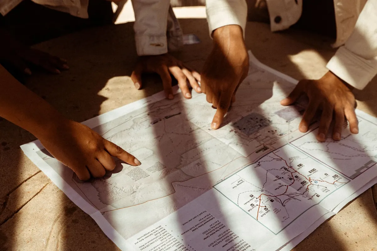
A practical introduction to the numbers and symbols that make island maps trustworthy: how scale shapes...
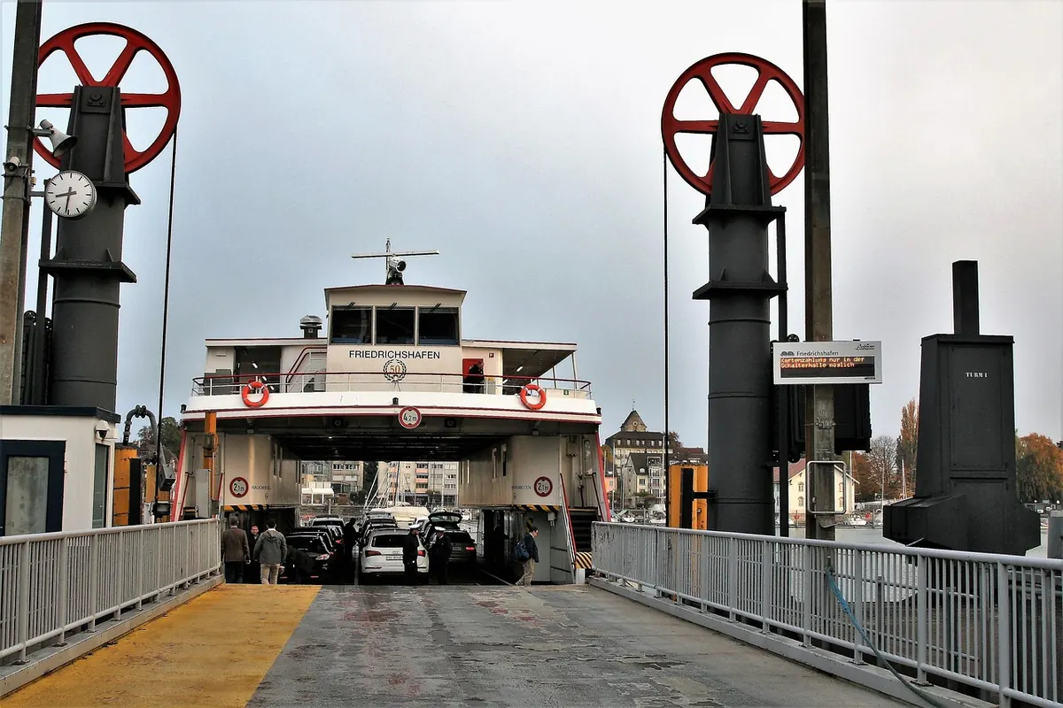
Ferry route maps are easier to trust when you know what their lines, port labels, and timetable codes...
How to combine ferry timetables, island bus maps and honest walking times into a car-free day trip that...
Island trails shift with the seasons: spring floods, summer scrub and autumn light all redraw the map....
Island roads often look simpler on a map than they are in practice. These common navigation mistakes—and...
A practical comparison of paper and digital maps for island hiking, weighing battery life, waterproofing,...

A practical checklist for judging online island maps: purpose, source data, revision dates, licensing and offline reliability, with quick tests...

A practical comparison of tourist, topographic, nautical, and road maps for island trips, with guidance on which style suits sightseeing, hiking,...

A practical pre-hike checklist for coastal island trails: choosing and marking paper maps, planning water and escape routes, reading island...
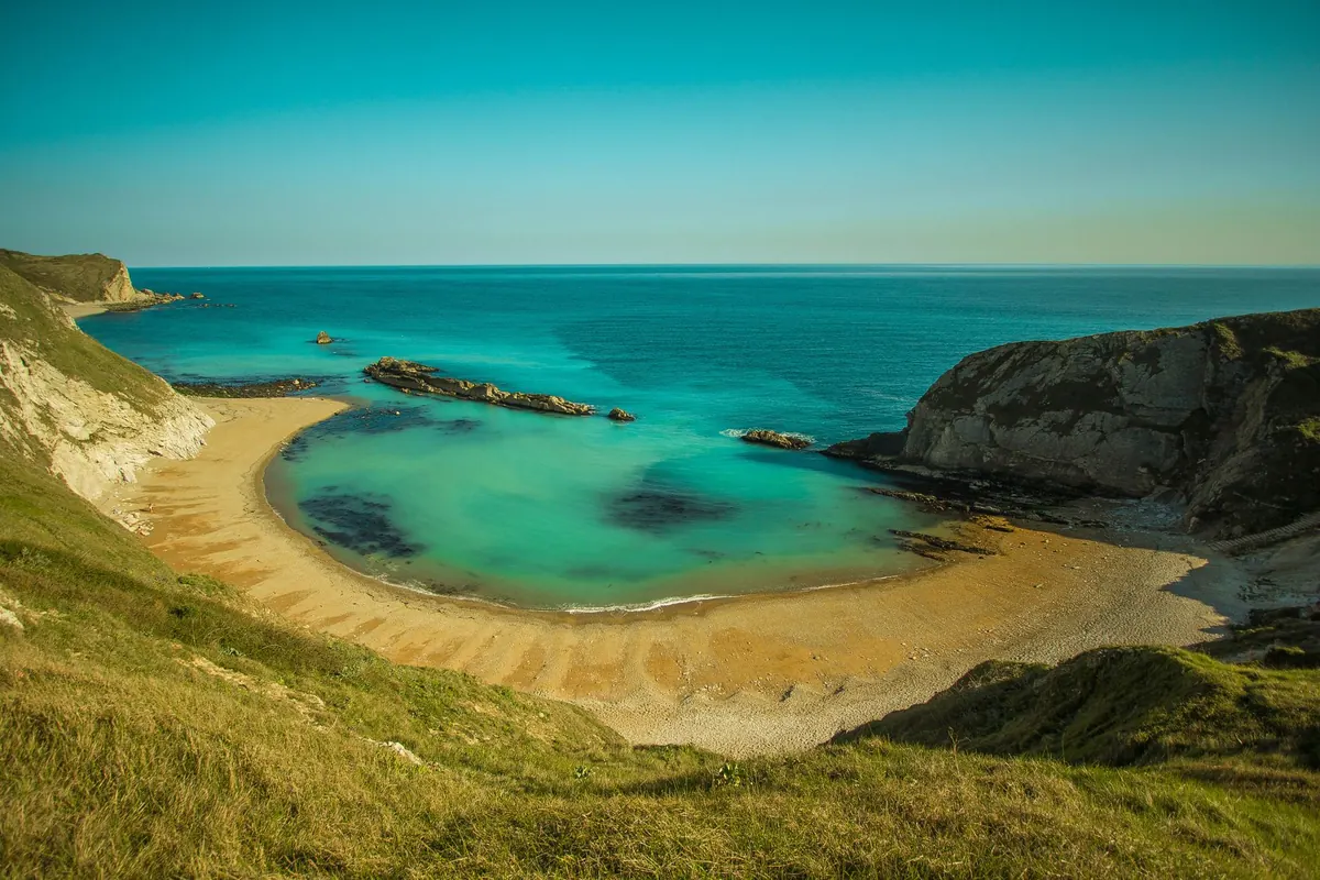
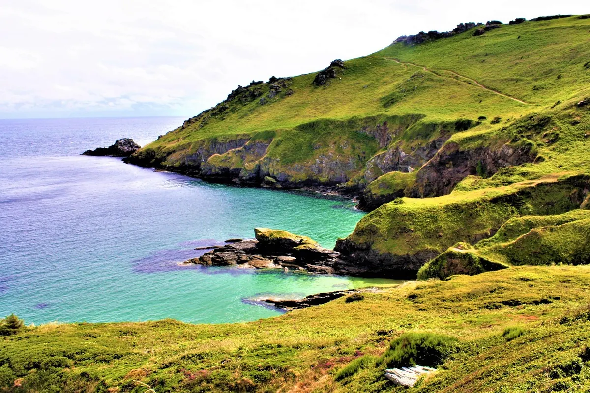
Photographs flatten every beach into the same blue. Here is how to read island maps for access points, facilities and exposure, so each cove you...