Trending

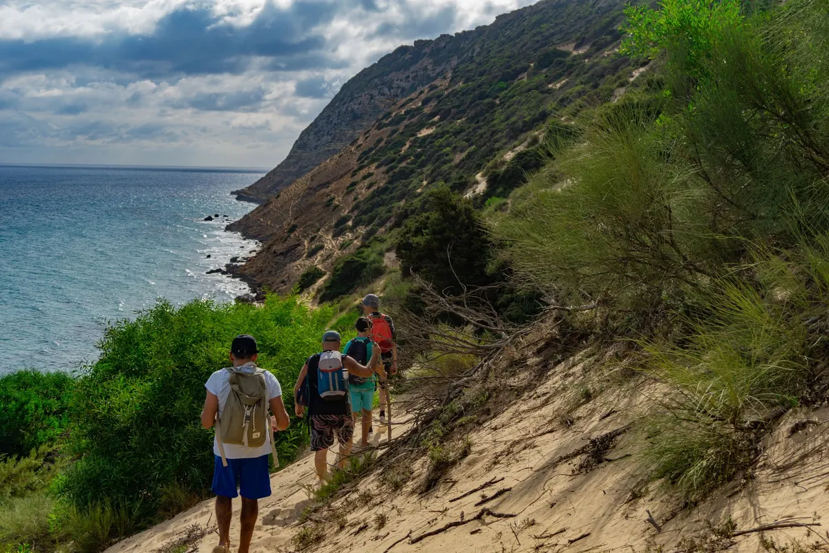
You can usually tell how a coastal hike will go in the first ten minutes, when someone in the group pulls out a phone, tilts it away from the glare, and announces that the battery is at nineteen percent. On an island that moment carries more weight than it would on the mainland. Ferries keep their own schedule, the nearest road may be an hour of loose scree behind you, and half the headlands look identical from sea level. So the real question isn't paper versus digital. It's which one you trust when the wind picks up and the last trail marker has been sanded smooth by salt.
A printed map has one overwhelming virtue: it works. It does not dim in sunlight, does not ask for a software update at the trailhead, and does not care whether there is a signal. Unfold it on the kitchen table the night before and you can trace an entire day in one glance — the ferry jetty, the switchbacks above the village, the stretch of coast where the path is drawn as a dotted line rather than a solid one. That dotted line is often the most useful thing on the sheet.
Paper also forces a kind of attention that screens quietly discourage. When you have to find your position by matching a contour shape to the ridge in front of you, you notice things: the gully that could cut you off at high tide, the shoulder where the wind will hit, the fact that the bay you're aiming for sits on the exposed side of the island. A folded map is a plan you can hold. The creases become a record of where you've been.
The trade-offs are real. Paper tears, it turns to pulp when soaked, and a 1:50,000 sheet of a whole island can be too coarse for a faint coastal path. But those are solvable problems — print a close-up of the day's section, or buy the larger-scale sheet if one exists.
At the point of decision, nothing beats a screen. Zooming from an island-wide view to a single headland takes a second. Offline tiles, downloaded before you leave the mainland, keep your position visible when there is no signal at all, and many mapping apps show an elevation profile that tells you honestly whether that "gentle" 300 metres is gentle. Tide tables, ferry timetables and a photograph of the trailhead sign are all things a paper map cannot hold.
The phone is also better in poor visibility. On a featureless plateau in fog, or on a granite slab where the path vanishes for fifty metres, a GPS fix plus a compass bearing is more precise than squinting at a contour line. Treat the phone as an instrument for confirmation, not as your only plan.
Screen on, brightness at maximum, GPS running, camera used for photographs — a modern phone will burn through its charge well before a full day of coastal walking is over. Cold makes it worse. A few simple habits stretch a battery considerably: switch to airplane mode unless you need something, set the screen timeout short, keep the phone in an inside pocket rather than a hip belt, and carry a small power bank and cable. A power bank weighs less than a flask and has saved more hikes than most gear.
Screens wash out in direct sun, particularly on pale limestone coastlines where the light bounces. Wet fingers do not register on a touchscreen; neither do gloves. If you hike in spring or autumn, or you're crossing a stretch of open headland where spray reaches the path, you will spend more time fighting the interface than reading it. Paper has no interface to fight — only wind, which a decent case or a heavy stone on the corner solves.
Neither format is waterproof by default, but they fail differently. An ordinary paper map absorbs spray, sticks to itself and tears along the fold. Laminated or synthetic-paper maps shrug off rain and can be written on with a pencil, though they glare in the sun and cost more. A clear plastic case worn outside the pack solves most of it: the map stays visible, the rain stays out, and you can read it without unpacking.
Phones are trickier. Water-resistance ratings are tested in fresh water, not salt, and salt is what you'll meet on an island. A charging port crusted with salt stops charging at the worst moment; sand in a speaker grille is a minor annoyance until you need the speaker, and a wet screen misreads every tap. A simple sealed pouch costs little and prevents most of this.
Islands are small places with disproportionate detail. A kilometre of coast can hold a cliff, a seasonal stream, a beach that disappears at high tide and a path that exists only in summer. Whichever format you carry, check the same things before you trust it:
Digital maps excel at showing exactly where you are; they're weaker at showing the character of the ground. Paper is the reverse. That's the argument for both, not for one.
Carry both, and give each a job. The paper map plans the day, shows the whole island at once, survives a dropped pack and works when everything else has given up. The phone confirms your position at ambiguous junctions, tells you where the water tap is, and gets you off a foggy plateau. Relying on only one is a choice you'll notice most on the day it lets you down.
If you must choose, take the paper. It cannot run out of charge, and a coastal path is the sort of place where a flat battery turns a pleasant afternoon into a long walk in the wrong direction. Then put a charged phone in your pocket anyway, offline tiles loaded, and enjoy the parts of the island that no map has ever drawn.
Photo: cocoparisienne / Pixabay