Trending

A car-free island day is a small piece of logistics, and it lives or dies on paper. Three separate things have to agree: the boat that gets you there, the bus that carries you inland, and the path that takes you the last few kilometres on foot. Get them in the right order and you spend the day looking at the island instead of at your watch. Get them wrong and you spend it at a bus stop in the heat, watching the one afternoon service pull away.
Most island maps are generous with scenery and stingy with the details that decide your day: how often the bus runs, where the ferry actually docks, how long the climb really takes. Here is how to read them together and build an itinerary with a bit of slack in it.
It is tempting to begin with the beach or the village you have seen in photographs. Resist that for an hour. Open the ferry map first, because the boat sets the shape of everything else.
On the map, note which port you arrive at and which one you leave from — on smaller islands these are sometimes the same place, sometimes not, and a ferry line drawn between two islands can mean a twenty-minute crossing or a two-hour one. Look at whether the service is a conventional ferry or a hydrofoil (often marked as aliscafo, jet or fast). The fast boats are quicker but far more likely to be cancelled when the wind picks up, and they sometimes use a different quay from the car ferry.
Then write down two times: your arrival, and the departure of the last boat back that you would genuinely be comfortable catching. Not the very last one. Islands have a habit of running their final service earlier than visitors expect, and in shoulder season the timetable can shrink to a single morning and a single late-afternoon crossing. If the first boat lands at 09:40 and the last one leaves at 17:15, your day is not seven and a half hours. Subtract the walk to the bus stop, the wait, and the twenty minutes you should be back at the quay — you have roughly five usable hours.
An island bus network is usually simpler than it looks once you spot its shape. Almost always it is radial: everything runs in and out of one hub, normally the main port or the biggest town. Find that hub on the map first. Then ask two questions of every line you are considering.
A line drawn on a map tells you the road exists and a bus uses it. It says nothing about frequency. A route can be served eight times a day in July and twice in October. Look for the number of daily runs printed alongside the line, and look specifically at the middle of the day. Many southern European islands keep their buses busy in the morning, quiet from about 13:00 to 16:00, and busy again in the evening. That gap is where ambitious itineraries collapse.
Watch for departures labelled as school services, or marked with a symbol you do not recognise. These often run only on school days, sometimes only in term time, and occasionally only in one direction. The same goes for market-day services. If a departure is marked with an asterisk, find the footnote before you build your day around it.
One more thing worth noting on the map: whether your stop is a proper stop with a name or a request stop. On rural island routes, the driver may not stop unless you signal, and the stop may be nothing more than a widening in the road with a faded sign.
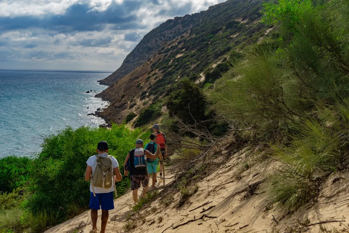
Walking is where car-free island days quietly fall apart, because map distance and walking time are two different things, and the map only gives you one of them.
Use the scale bar. Measure the route with your thumb, a folded scrap of paper or the edge of a credit card. Then look at the contours. Two walks of four kilometres can be entirely different propositions: one along a flat coastal lane, the other climbing three hundred metres through switchbacks in full sun. Switchbacks are especially deceptive — a road that looks short on the map may unwind into twice the distance on the ground.
As a working rule, take whatever walking time the map or guide suggests and add about a third. Add more if the route is a footpath rather than a road, if it crosses a stream, or if you are walking in the middle of the afternoon in summer. Paths shown as dotted lines on hiking maps are often rougher than the symbol implies, and some coastal paths on road maps are not passable at all after winter weather.
Now assemble the itinerary in reverse. It is the single most useful habit in car-free travel.
With that skeleton in place, fill the gaps with things you actually want to do. You will usually find the day is smaller than you hoped and better than you feared. Two stops with time to sit down beat five stops spent checking the time.
Before you commit, run a quick audit. Each of these has saved somebody a wasted afternoon:
If you take one habit away, make it this: plan to fill no more than two-thirds of your available time. The remaining third absorbs the late ferry, the missed connection, the path that takes longer than the map said, and the swim you decide to take because the water looks too good to skip. A car-free day with a spare hour in it feels generous. One planned to the minute feels like a shift at work.
On the morning itself, look at the harbour noticeboard and the board at the bus terminus. Ask at the bar by the port whether the afternoon boat is running and whether anything is on strike. Check the wind, because a breezy morning can mean the fast boats are suspended by afternoon. Then put the paper map in your bag anyway — it weighs nothing, it does not need charging, and on the day the timetable changes, it is the only thing that will still tell you where you are.
Photo: L.um.S 怪叔拉姆斯 / Pexels